Lynchburg
The Virginia Tech Library had in its maps collection a variety of maps of Virginia cities, towns, and counties.
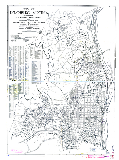
This street map is from 1927 and shows the rail lines, stations, and the streetcar system

(those with a fast connection can click on the image to see a larger version -- it is a 2.3 MB file, 1385 X 1858). There is an even larger 133.2 Mb file available, 1927Lburg.jpg
