Vicker Coaling Facilities
Anyone who has visited the community of Vicker on the N&W between Christiansburg and Walton is familiar with the large concrete coaling tower that straddles the tracks there at MP 295.4.
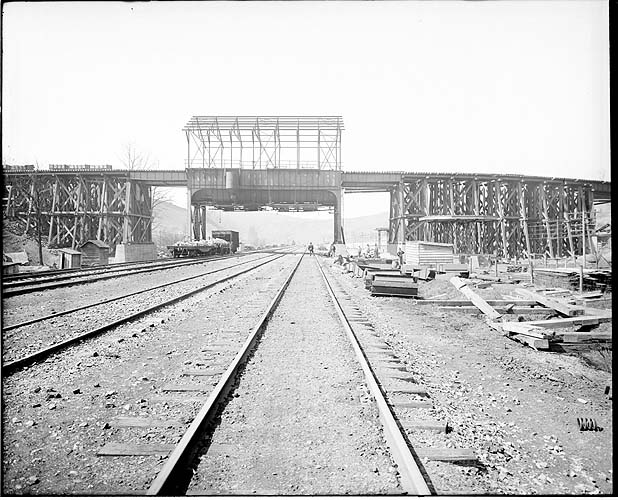
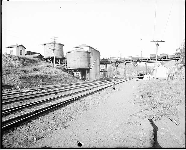
But there is a lot of infrastructure there that doesn't seem to fit with that large tower. Most of it is from the coaling facility that was there before that modern coaling tower was built in 1951. There was a ballon track that climbed to cross the tracks, with a coal trestle to transfer coal from coal cars to steam engine tenders. This coaling and watering facility was built in 1918.
These views from the Virginia Tech imagebase tag the structure as Vicker but more research is necessary to confirm that the topography matches the image.
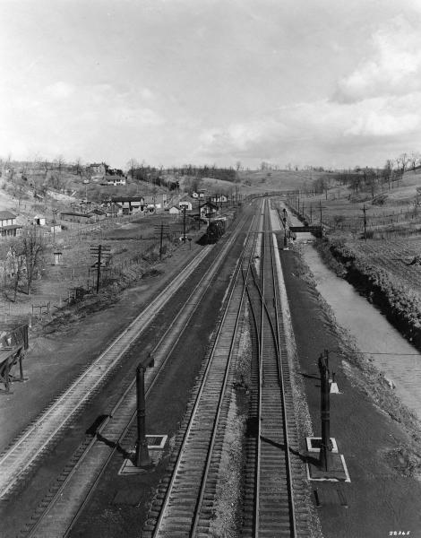
But the trackside images don't give a good perspective of just how extensive this facility was. This aerial view from 1937 shows that the ballon track extended well across the road on the north side of the tracks.
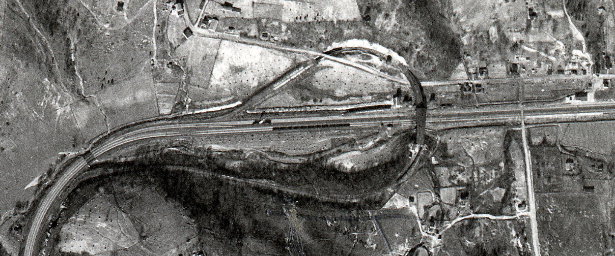
(click on the image to see a larger version).
Traces of the operation can still be seen today, as shown in this recent aerial photo from the Montgomery County GIS site:
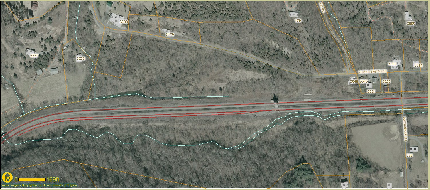
(click on the image to see a larger version).
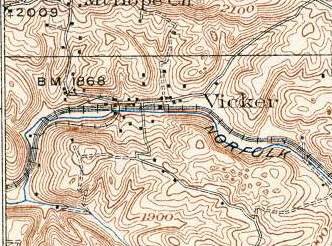
An OK view of the track layout is seen in this 1937 15-minute topo map, Blacksburg topo map.
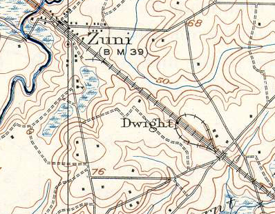
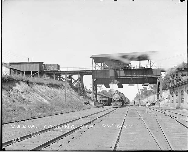
There was a similar set-up at Dwight, Virginia, just east of Zuni.
A good view of the track layout is seen in this 1920 (Reprinted 1944) 15-minute Ivor topo map.