Catawba Branch
Today's Catawba Branch is much shorter than what was originally constructed. Originally built by the Catawba Valley Railway and Mining Company to haul silica sand to manufacture glass at a plant in Salem, it later provided a means to move freight and passengers (patients) to Catawba Sanatorium on the other side of Catawba Mountain. The line to Catawba Sanatorium Station in Mason Cove remained in service until July 28, 1943.
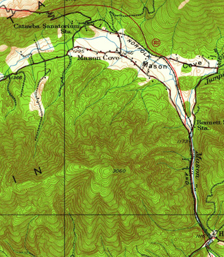
Click on the map to see a larger image (The full topo map, 12.4 Mb, is available: Salem_1929.pdf)
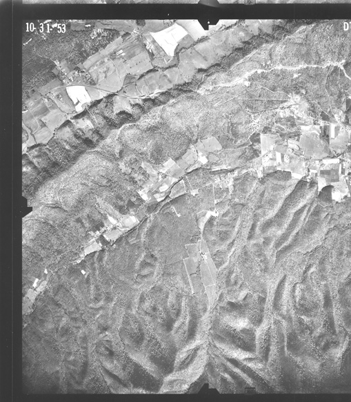
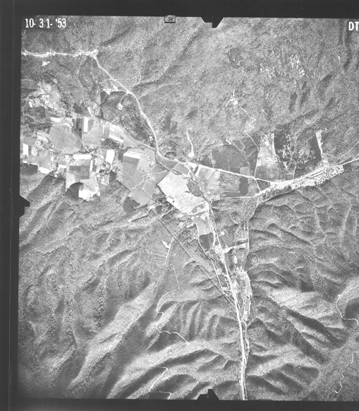
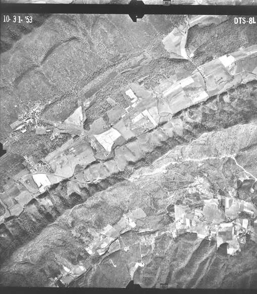
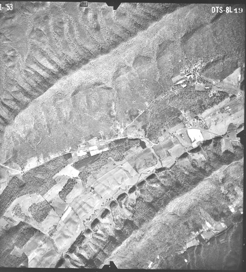
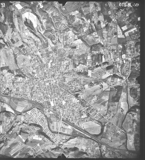
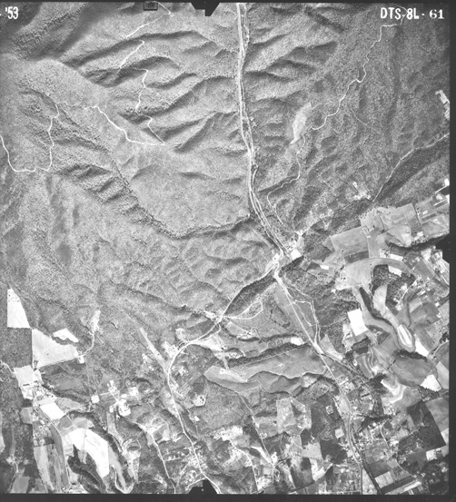
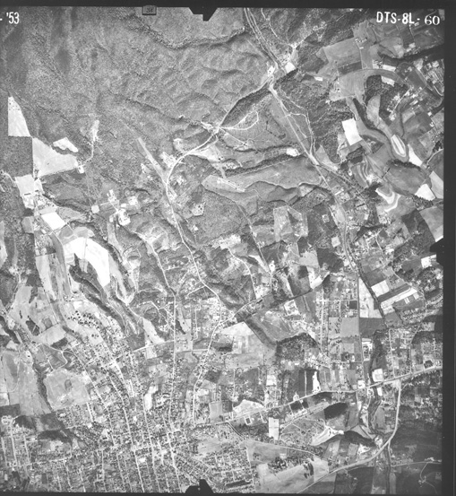
This is the view from 1953, click on the map to see a larger image.
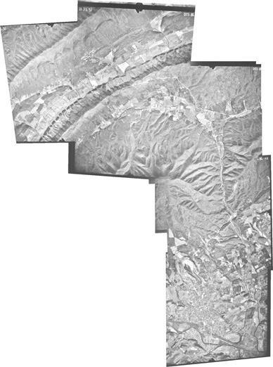
There is an even larger version,
a 44 Mb file, 12,948 x 17,403.
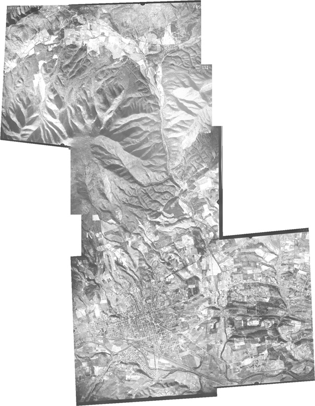
The 1937 image was stitched together in Photoshop from six different images, each of which is available to view or download (they are each a little over 9 Mb in size). I also have the originals in TIFF format, which are beasts around 55 Mb in size, but I can make them available in a variety of ways (on this site for download, via FTP, on a CD or DVD or email if your system will handle the attachment).
- Mason's Cove area
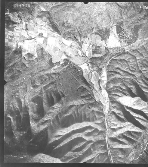
- The actual Catawba Sanatorium Station site and the area to the south
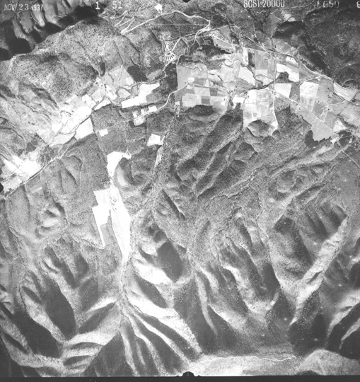
- Hanging Rock and north
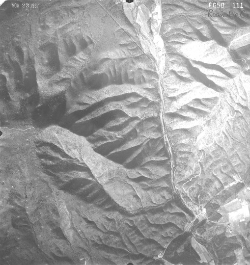
- Hanging Rock and Kessler Mill Rd.
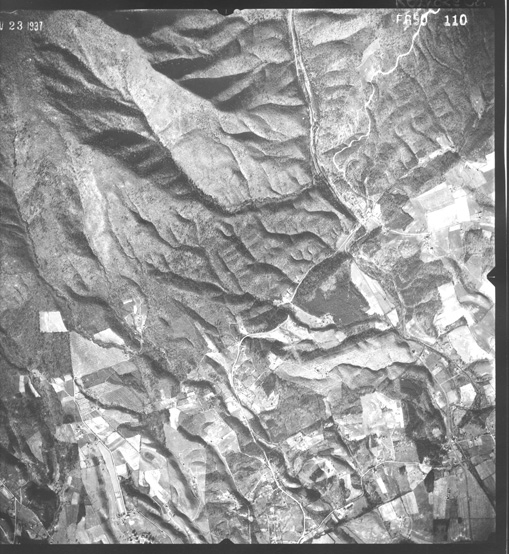
- Salem, centered on Salem station
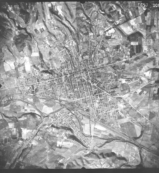
- East of Salem, with Lakeside Amusement Park
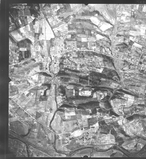
The 1953 image was stitched together in Photoshop from seven different images, each of which is available to view or download (they are each a little over 10 Mb in size). I also have those originals in TIFF format, which are beasts around 55 Mb in size, but I can make them available in a variety of ways (on this site for download, via FTP, on a CD or DVD or email if your system will handle the attachment).

